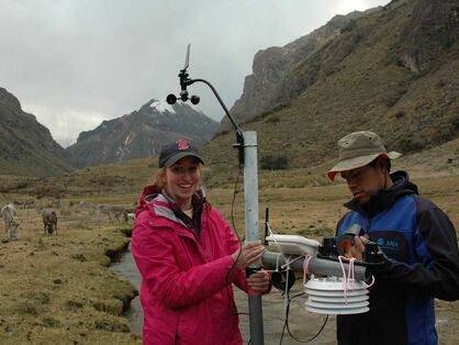
Current Research
Stream Temperatures in Upstate NY
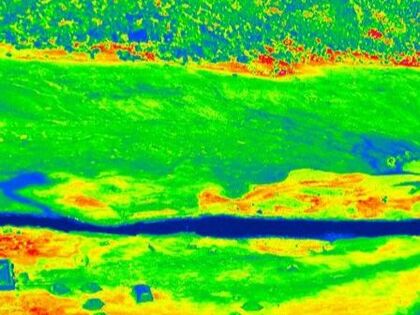
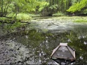
This study focuses on understanding the temperature dynamics in streams and rivers in Upstate NY. As climate change progresses, longer and hotter heat waves will occur during the summer, affecting stream temperatures during these periods. Climate change is also predicted to affect groundwater temperatures, which also play an important role in regulating stream temperatures. This is particularly problematic for fish species that rely on cool areas within streams for their survival. Therefore we are interested in furthering our understanding of how stream temperatures will be affected by such changes, both now and in the future. Furthermore we are interested in how such water temperature changes will affect water quality in streams, since water quality issues such as algae blooms can be worsened by increased temperatures.
This study focuses on understanding the temperature dynamics in streams and rivers in Upstate NY. As climate change progresses, longer and hotter heat waves will occur during the summer, affecting stream temperatures during these periods. Climate change is also predicted to affect groundwater temperatures, which also play an important role in regulating stream temperatures. This is particularly problematic for fish species that rely on cool areas within streams for their survival. Therefore we are interested in furthering our understanding of how stream temperatures will be affected by such changes, both now and in the future. Furthermore we are interested in how such water temperature changes will affect water quality in streams, since water quality issues such as algae blooms can be worsened by increased temperatures.
HFLUX Stream Temperature Model Development
This research focuses on continued development of the HFLUX stream temperature energy balance model, which is a program written in MATLAB to calculate stream temperature through space and time. Ongoing work includes adding additional stream channel shape options, incorporating the capability to account for surface water inflows along the length of the modeled stream, and creating a GUI that can be used by students in courses. Additional future work includes scripting the model code in either R or Python to provide students and researchers with a version of the code that can be run using free software.
This research focuses on continued development of the HFLUX stream temperature energy balance model, which is a program written in MATLAB to calculate stream temperature through space and time. Ongoing work includes adding additional stream channel shape options, incorporating the capability to account for surface water inflows along the length of the modeled stream, and creating a GUI that can be used by students in courses. Additional future work includes scripting the model code in either R or Python to provide students and researchers with a version of the code that can be run using free software.
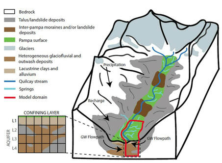
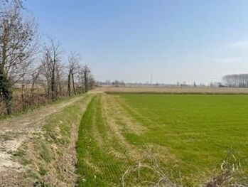
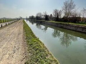
Groundwater in an Agricultural Plain in Northern Italy
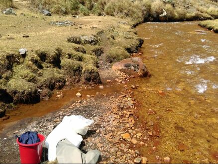
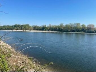
This study focuses on groundwater flow modeling in the southern portion of the Ticino basin of Northern Italy. This region is dominated by agriculture, particularly flood irrigated rice fields, and so the impact of this irrigation technique on aquifer recharge is of great importance. We are also interested in understanding how agricultural contaminants are transported from these fields to local rivers to better understand their impact on water quality. For this research MODFLOW, the USGS groundwater flow model, and MODPATH are used to study groundwater flow and transport in the basin. This study is also interested in assessing how climate change will affect groundwater flow and the water cycle in the future in this region.
---------------------------- Related publications: Baker et al., 2022; Baker et al., In review ----------------------------
|
|
|